
United States
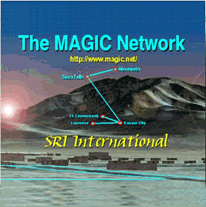 |
TerraVision on the Grid: Interactive Immersive Fly-Throughs Using Distributed Image Servers TerraVision, part of DARPA’s MAGIC project, was developed to demonstrate a high-speed, wide-area IP/ATM network for real-time terrain visualization and high-speed distributed storage systems. Running on an ImmersaDesk, users roam in real time about a 3D landscape, created from elevation data and registered aerial images and comprised of a TB of data. TerraVision is built using VRML 2.0, enabling users with VRML browsers to visualize large datasets from remote locations. |
| Contact |
Stephen Lau Lawrence Berkeley National Laboratory USA slau@lbl.gov |
| Collaborators |
Stephen Lau, Brian Tierney Lawrence Berkeley National Laboratory USA |
www.ai.sri.com/TerraVision
www.magic.net
| web @ startap.net |